Track Record (As of End of September 2025)
Calculations of metocean conditions for offshore sites: Over 30 sites
(including sites for which we provided Third-Party Certification Support).
Overview
We conduct meteorological and oceanographic (metocean) analysis essential for offshore wind farm planning. Our analysis is specifically designed to meet
the certification requirements.
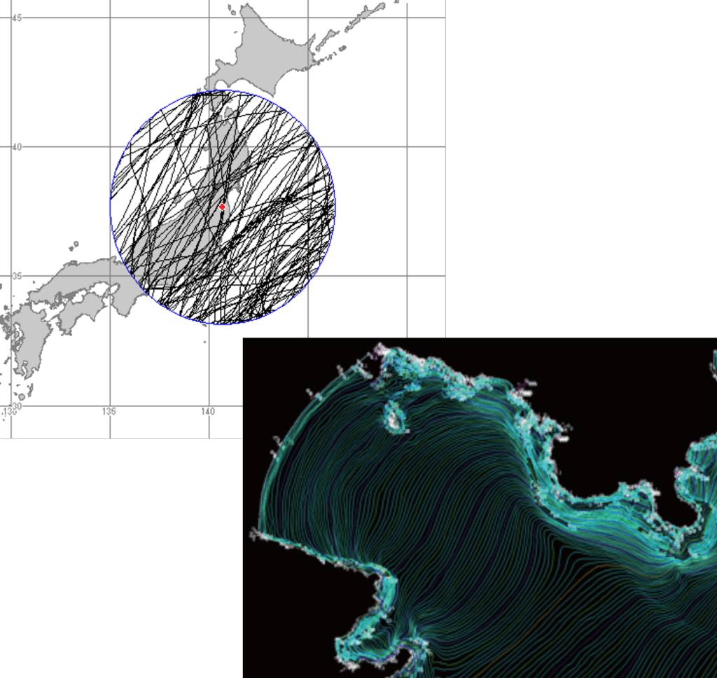
We establish wind conditions (e.g., annual mean wind speed) and metocean conditions (e.g., significant wave height, current speed) using measurement data (masts, vertical/scanning LiDAR,
wave gauges) and simulation data for tides, waves, and currents.
Wind, Water Level, Wave, and Current Conditions
We calculate site conditions—wind, water level, waves, and currents—essential for the design of both fixed-bottom and floating wind turbine foundations.
We also evaluate other environmental conditions such as snow accumulation, lightning, and tsunamis.
We utilize analysis software including "MASCOT," "MASCOT Offshore," "WAVEWATCH III," and "EGWAVE."
■ Wind Conditions
・Using client-provided measurement data, meteorological agency data and numerical models, we calculate wind speed frequency distribution, turbulence intensity, power law exponents for wind profile and flow inclination angles.
・We calculate extreme wind speeds with a 50-year return period using airflow analysis and/or typhoon simulations.
■Water Level Conditions
We calculate mean water levels, normal
water level
ranges, and extreme
water level
ranges using measurement and simulation data.
■ Wave Conditions
・We calculate significant wave heights and periods categorized
by wind speed
bins
, as well as the joint probability distribution of wind and waves.
・We also use numerical models to calculate significant wave heights and periods for a 50-year return period.
■ Current Conditions
We calculate mean current speeds categorized by wind speed bins, as well as extreme current speeds for 1-year and 50-year return periods.
■ Other Conditions
We also assess other conditions such as air/water temperature, snow accumulation, icing, lightning, and tsunamis.
Third-Party Certification Support
We provide comprehensive technical support for both port and general sea areas, covering everything from site condition evaluation to third-party certification support (documentation, examination response, and Q&A).
We have a proven track record for providing supports to obtain certification of ClassNK or Bureau Veritas.
We continuously update our calculation methods and analysis processes by incorporating certification reviewers' feedback and the latest research trends.
This ensures the site evaluations consistent with the international and national standards, and facilitates the creation of technical documents for a smooth review process.
Construction and Maintenance Phase Support
Based on wave prediction data, we provide occurrence frequency for specific conditions.
Example 1: The monthly percentage of 6 consecutive hours where wind speed is <8 m/s and significant wave height is <1m.
Example 2: The probability of encountering a 12-hour window (wind speed <9 m/s, significant wave height <0.5m) after a 6-hour wait.
*Note: We can also calculate other metrics, such as peak period categoriced by month and/or by wave height bins, upon request.
Metocean Forecasting Service
Using numerical wave simulations, we provide forecasts for wind speed/direction, significant wave height, and wave period.
Example: Period: 3-7 days ahead (1-hour intervals). Horizontal resolution: 0.01 degrees by 0.01 degrees (~1km). Data: 10m wind speed/direction, significant wave height/period, max wave height, wave direction.
*Note: Forecast period, domain, resolution, and data items can be customized.
Please contact us(03) 6811-2515
Contact us by email